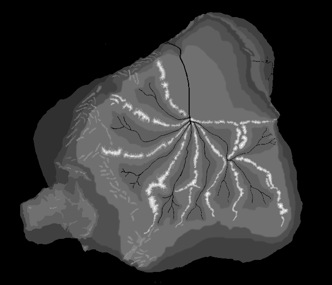
Mu 3D
This is the file that Max uses to build the 3D surface. To make it,
I took a copy of the original Mu map and began coloring it with shades
of gray. The darker the gray, the lower the elevation. It was pretty easy
to tell relative heights from the original, but it took a long time to
paint because I was trying to match the original, at the pixel level.
Here you can also see the locations of present day land masses, for example
Australia and the west coast of North America very clearly.
Home | The Lemuria Mailing List |
FAQ
Maps of Lemuria
Lemuria Books | Lemurian
Resources | Links